Towards Ramalley Bridge
Introduction
The photograph on this page of Towards Ramalley Bridge by Graham Horn as part of the Geograph project.
The Geograph project started in 2005 with the aim of publishing, organising and preserving representative images for every square kilometre of Great Britain, Ireland and the Isle of Man.

There are currently over 7.5m images from over 14,400 individuals and you can help contribute to the project by visiting https://www.geograph.org.uk
Towards Ramalley Bridge
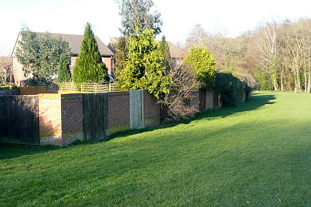
Image: © Graham Horn Taken: 19 Mar 2011
Although the suburbs of Chandler's Ford have grown up over the years there is still a lot of green space. Backing onto some of the houses, this area slopes down to a small valley ahead by the trees at Ramalley Bridge.
Images are licensed for reuse under creativecommons.org/licenses/by-sa/2.0
Image Location
Latitude
50.989903
Longitude
-1.396843