Afon Terrace, Lower Pontnewydd, Cwmbran
Introduction
The photograph on this page of Afon Terrace, Lower Pontnewydd, Cwmbran by Jaggery as part of the Geograph project.
The Geograph project started in 2005 with the aim of publishing, organising and preserving representative images for every square kilometre of Great Britain, Ireland and the Isle of Man.

There are currently over 7.5m images from over 14,400 individuals and you can help contribute to the project by visiting https://www.geograph.org.uk
Afon Terrace, Lower Pontnewydd, Cwmbran
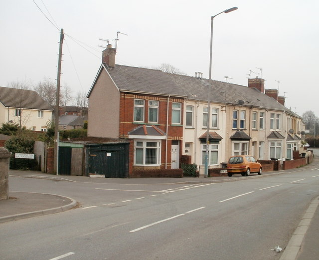
Image: © Jaggery Taken: 28 Mar 2011
Viewed from the SE end of Station Road. The Afon (river) in question is the Afon Lwyd. The left turn is into Stonebridge Park.
Images are licensed for reuse under creativecommons.org/licenses/by-sa/2.0
Image Location
Latitude
51.659294
Longitude
-3.014818