Hutton
Introduction
The photograph on this page of Hutton by Richard Webb as part of the Geograph project.
The Geograph project started in 2005 with the aim of publishing, organising and preserving representative images for every square kilometre of Great Britain, Ireland and the Isle of Man.

There are currently over 7.5m images from over 14,400 individuals and you can help contribute to the project by visiting https://www.geograph.org.uk
Hutton
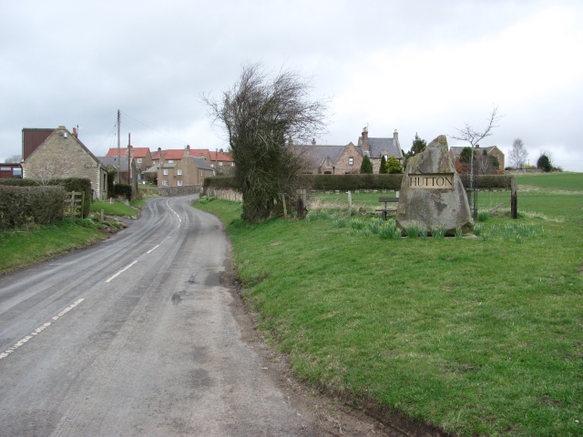
Image: © Richard Webb Taken: 26 Mar 2011
A large boulder has been used as a village sign. The surrounding countryside does not contain any obvious rocky exposures, so there is probably a story attached to the large boulder.
Images are licensed for reuse under creativecommons.org/licenses/by-sa/2.0
Image Location
Latitude
55.775191
Longitude
-2.147588