Gorsey hillside, Higher Fence, Macclesfield
Introduction
The photograph on this page of Gorsey hillside, Higher Fence, Macclesfield by Peter Turner as part of the Geograph project.
The Geograph project started in 2005 with the aim of publishing, organising and preserving representative images for every square kilometre of Great Britain, Ireland and the Isle of Man.

There are currently over 7.5m images from over 14,400 individuals and you can help contribute to the project by visiting https://www.geograph.org.uk
Gorsey hillside, Higher Fence, Macclesfield
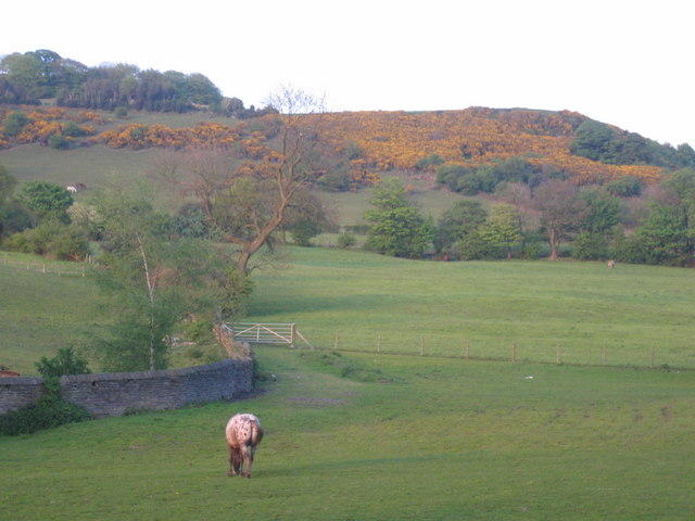
Image: © Peter Turner Taken: 11 May 2005
Taken from the farm track continuation of Higher Fence Road, Hurdsfield. Over the wall to the left is the service reservoir and Swans Pool is further along the track to the right.
Images are licensed for reuse under creativecommons.org/licenses/by-sa/2.0
Image Location
Latitude
53.262416
Longitude
-2.101152