Sutton Lane Ends village, Macclesfield
Introduction
The photograph on this page of Sutton Lane Ends village, Macclesfield by Peter Turner as part of the Geograph project.
The Geograph project started in 2005 with the aim of publishing, organising and preserving representative images for every square kilometre of Great Britain, Ireland and the Isle of Man.

There are currently over 7.5m images from over 14,400 individuals and you can help contribute to the project by visiting https://www.geograph.org.uk
Sutton Lane Ends village, Macclesfield
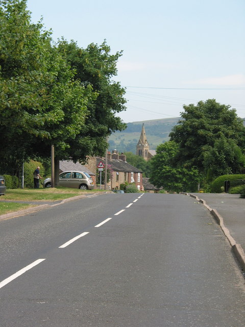
Image: © Peter Turner Taken: 16 Jul 2003
Approaching the cross roads from Lyme Green with the spire of St James church in the distance.
Images are licensed for reuse under creativecommons.org/licenses/by-sa/2.0
Image Location
Latitude
53.235801
Longitude
-2.110229