Double Dykes, Pry Rigg
Introduction
The photograph on this page of Double Dykes, Pry Rigg by Gordon Hatton as part of the Geograph project.
The Geograph project started in 2005 with the aim of publishing, organising and preserving representative images for every square kilometre of Great Britain, Ireland and the Isle of Man.

There are currently over 7.5m images from over 14,400 individuals and you can help contribute to the project by visiting https://www.geograph.org.uk
Double Dykes, Pry Rigg
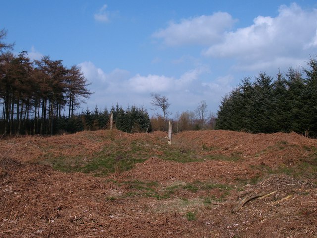
Image: © Gordon Hatton Taken: 27 Mar 2011
Parallel banks with possibly a ditch between. This feature cuts across a broad ridge by Studford Farm and one would assume that it is a prehistoric earthwork, although I could find no reference to it on the National Monuments Record.
Images are licensed for reuse under creativecommons.org/licenses/by-sa/2.0
Image Location
Latitude
54.216339
Longitude
-1.113756