Inside Studfold Ring
Introduction
The photograph on this page of Inside Studfold Ring by Gordon Hatton as part of the Geograph project.
The Geograph project started in 2005 with the aim of publishing, organising and preserving representative images for every square kilometre of Great Britain, Ireland and the Isle of Man.

There are currently over 7.5m images from over 14,400 individuals and you can help contribute to the project by visiting https://www.geograph.org.uk
Inside Studfold Ring
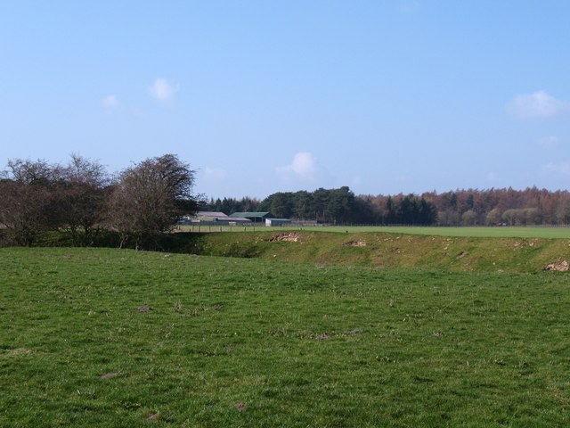
Image: © Gordon Hatton Taken: 27 Mar 2011
Looking across the flat inner area of the ring with the ditch and bank visible around the perimeter. Studford Farm visible beyond. Note that the feature is shown as Studford Ring on the 1:50000 map and is also known as Stotfold Ring. The term 'stud' associates it with horses, as this was a medieval horse enclosure.
Images are licensed for reuse under creativecommons.org/licenses/by-sa/2.0
Image Location
Latitude
54.210829
Longitude
-1.11004