Fields near Peter House Farm
Introduction
The photograph on this page of Fields near Peter House Farm by Bill Boaden as part of the Geograph project.
The Geograph project started in 2005 with the aim of publishing, organising and preserving representative images for every square kilometre of Great Britain, Ireland and the Isle of Man.

There are currently over 7.5m images from over 14,400 individuals and you can help contribute to the project by visiting https://www.geograph.org.uk
Fields near Peter House Farm
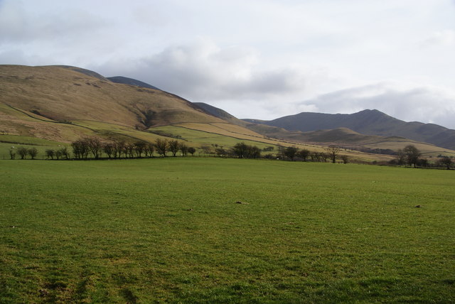
Image: © Bill Boaden Taken: 17 Mar 2011
Beyond is Ullock Pike to the right and Skiddaw behind on the left. The tops cleared completely of cloud in the time it took to get from Bakestall to here.
Images are licensed for reuse under creativecommons.org/licenses/by-sa/2.0
Image Location
Latitude
54.67924
Longitude
-3.165942