Former feeding area
Introduction
The photograph on this page of Former feeding area by Graham Horn as part of the Geograph project.
The Geograph project started in 2005 with the aim of publishing, organising and preserving representative images for every square kilometre of Great Britain, Ireland and the Isle of Man.

There are currently over 7.5m images from over 14,400 individuals and you can help contribute to the project by visiting https://www.geograph.org.uk
Former feeding area
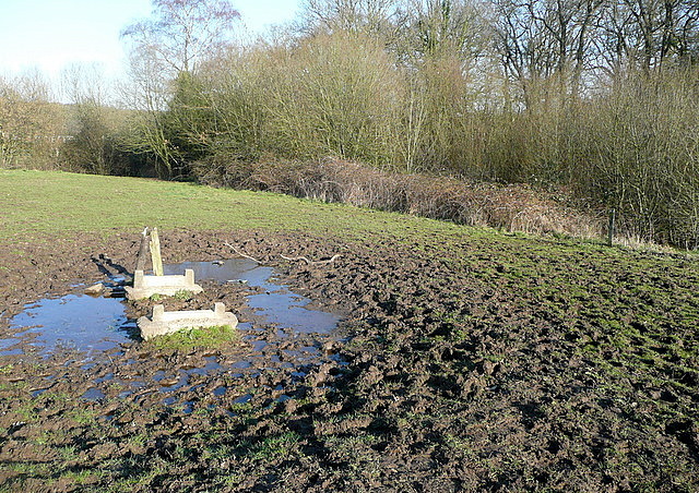
Image: © Graham Horn Taken: 19 Mar 2011
The muddy approach and the concrete bases give it away; until recently there must have been an animal feeding or drinking trough here.
Images are licensed for reuse under creativecommons.org/licenses/by-sa/2.0
Image Location
Latitude
50.986655
Longitude
-1.412414