Studfold Ring - outer bank
Introduction
The photograph on this page of Studfold Ring - outer bank by Gordon Hatton as part of the Geograph project.
The Geograph project started in 2005 with the aim of publishing, organising and preserving representative images for every square kilometre of Great Britain, Ireland and the Isle of Man.

There are currently over 7.5m images from over 14,400 individuals and you can help contribute to the project by visiting https://www.geograph.org.uk
Studfold Ring - outer bank
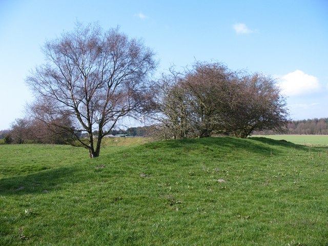
Image: © Gordon Hatton Taken: 27 Mar 2011
The map shows this earthwork as a circle, but the shape is more of a rectangle with rounded off corners [perhaps based on the design of the Austin Allegro steering wheel?]. Not a defensive site, due to the flat surroundings and a ditch inside the outer bank, but actually a medieval horse enclosure.
Images are licensed for reuse under creativecommons.org/licenses/by-sa/2.0
Image Location
Latitude
54.211005
Longitude
-1.109577