NCN Route 47 near Hengoed viaduct
Introduction
The photograph on this page of NCN Route 47 near Hengoed viaduct by Gareth James as part of the Geograph project.
The Geograph project started in 2005 with the aim of publishing, organising and preserving representative images for every square kilometre of Great Britain, Ireland and the Isle of Man.

There are currently over 7.5m images from over 14,400 individuals and you can help contribute to the project by visiting https://www.geograph.org.uk
NCN Route 47 near Hengoed viaduct
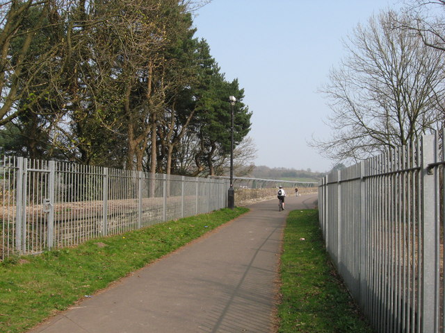
Image: © Gareth James Taken: 27 Mar 2011
The former platforms of Heath High Level station are behind the fences on either side.
Images are licensed for reuse under creativecommons.org/licenses/by-sa/2.0
Image Location
Latitude
51.646498
Longitude
-3.225115