2011 : Thrupe Lane looking north
Introduction
The photograph on this page of 2011 : Thrupe Lane looking north by Maurice Pullin as part of the Geograph project.
The Geograph project started in 2005 with the aim of publishing, organising and preserving representative images for every square kilometre of Great Britain, Ireland and the Isle of Man.

There are currently over 7.5m images from over 14,400 individuals and you can help contribute to the project by visiting https://www.geograph.org.uk
2011 : Thrupe Lane looking north
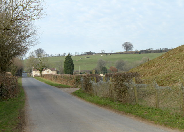
Image: © Maurice Pullin Taken: 14 Mar 2011
The bank on the right is part of an embankment which carried the Somerset & Dorset Railway, or the Slow and Dirty as it was known locally.
Images are licensed for reuse under creativecommons.org/licenses/by-sa/2.0
Image Location


Leaflet Map data © OpenStreetMap
Latitude
51.217853
Longitude
-2.566942