Slade Lane/Hocker Lane junction, Over Alderley
Introduction
The photograph on this page of Slade Lane/Hocker Lane junction, Over Alderley by Peter Turner as part of the Geograph project.
The Geograph project started in 2005 with the aim of publishing, organising and preserving representative images for every square kilometre of Great Britain, Ireland and the Isle of Man.

There are currently over 7.5m images from over 14,400 individuals and you can help contribute to the project by visiting https://www.geograph.org.uk
Slade Lane/Hocker Lane junction, Over Alderley
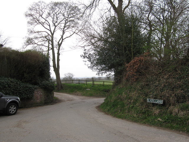
Image: © Peter Turner Taken: 26 Mar 2011
In reality an old crossroad but now with Slade Lane and Hocker Lane to the east with a tarmacadam surface. Hocker Lane westward starts with a length of old cobbles but quickly changes to a dirt track.
Images are licensed for reuse under creativecommons.org/licenses/by-sa/2.0
Image Location
Latitude
53.277106
Longitude
-2.209763