Short connecting road between two roundabouts, Cwmbran
Introduction
The photograph on this page of Short connecting road between two roundabouts, Cwmbran by Jaggery as part of the Geograph project.
The Geograph project started in 2005 with the aim of publishing, organising and preserving representative images for every square kilometre of Great Britain, Ireland and the Isle of Man.

There are currently over 7.5m images from over 14,400 individuals and you can help contribute to the project by visiting https://www.geograph.org.uk
Short connecting road between two roundabouts, Cwmbran
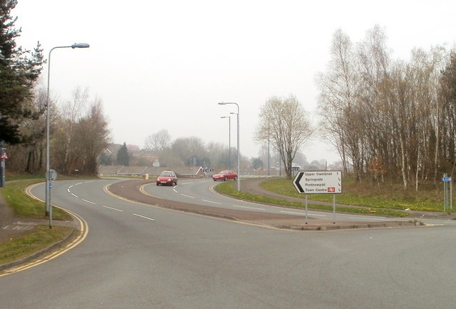
Image: © Jaggery Taken: 26 Mar 2011
An unnamed road, about 100 metres long, connects the Cwmbran Drive roundabout at Forge Hammer with the Maendy Way/Chapel Street roundabout ahead. The sign on the right shows (distances in miles): Upper Cwmbran 1 Springvale ½ Pontnewydd ¼ Town Centre ¼
Images are licensed for reuse under creativecommons.org/licenses/by-sa/2.0
Image Location
Latitude
51.656484
Longitude
-3.027766