Wollaton
Introduction
The photograph on this page of Wollaton by Stephen McKay as part of the Geograph project.
The Geograph project started in 2005 with the aim of publishing, organising and preserving representative images for every square kilometre of Great Britain, Ireland and the Isle of Man.

There are currently over 7.5m images from over 14,400 individuals and you can help contribute to the project by visiting https://www.geograph.org.uk
Wollaton
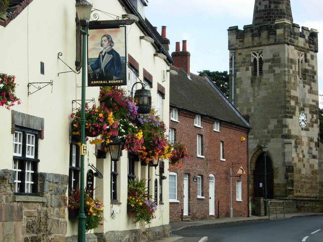
Image: © Stephen McKay Taken: 3 Sep 2006
Although nowadays submerged in Nottingham's western suburbs, Wollaton village still has a rural feel to it, helped by its proximity to Wollaton Park and its status as a conservation area.
Images are licensed for reuse under creativecommons.org/licenses/by-sa/2.0
Image Location
Latitude
52.952128
Longitude
-1.221523