A rath above the Drumlee Road
Introduction
The photograph on this page of A rath above the Drumlee Road by Eric Jones as part of the Geograph project.
The Geograph project started in 2005 with the aim of publishing, organising and preserving representative images for every square kilometre of Great Britain, Ireland and the Isle of Man.

There are currently over 7.5m images from over 14,400 individuals and you can help contribute to the project by visiting https://www.geograph.org.uk
A rath above the Drumlee Road
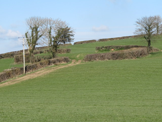
Image: © Eric Jones Taken: 26 Mar 2011
This is a very good example of a rath i.e. a ringfort. Such structures date back to the Iron Age and were in use until the early Middle Ages. It is not often one sees a rath which is not chocked with overgrown vegetation. Traditionally farmers have been wary of clearing thickets from within raths as these ringforts were considered to be fairy rings.
Images are licensed for reuse under creativecommons.org/licenses/by-sa/2.0
Image Location
Latitude
54.263011
Longitude
-6.05047