The Drumlee Road Presbyterian Hall
Introduction
The photograph on this page of The Drumlee Road Presbyterian Hall by Eric Jones as part of the Geograph project.
The Geograph project started in 2005 with the aim of publishing, organising and preserving representative images for every square kilometre of Great Britain, Ireland and the Isle of Man.

There are currently over 7.5m images from over 14,400 individuals and you can help contribute to the project by visiting https://www.geograph.org.uk
The Drumlee Road Presbyterian Hall
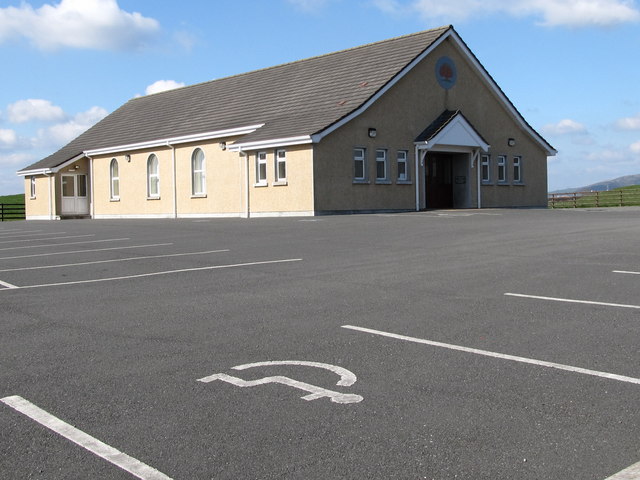
Image: © Eric Jones Taken: 26 Mar 2011
The OSNI 1:2500 map shows this hall and the nearby chapel in square J2636. The grid used on the Geograph Map in this district is based on the 1:50,000 and is not correctly aligned.
Images are licensed for reuse under creativecommons.org/licenses/by-sa/2.0
Image Location
Latitude
54.260881
Longitude
-6.052105