Cliffe South Quarry, also known as Buckland Lake Reserve (2)
Introduction
The photograph on this page of Cliffe South Quarry, also known as Buckland Lake Reserve (2) by Stefan Czapski as part of the Geograph project.
The Geograph project started in 2005 with the aim of publishing, organising and preserving representative images for every square kilometre of Great Britain, Ireland and the Isle of Man.

There are currently over 7.5m images from over 14,400 individuals and you can help contribute to the project by visiting https://www.geograph.org.uk
Cliffe South Quarry, also known as Buckland Lake Reserve (2)
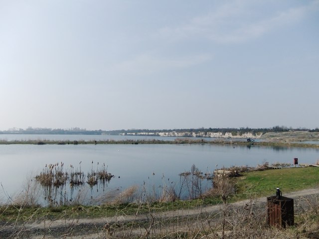
Image: © Stefan Czapski Taken: 25 Mar 2011
One of two deep chalk quarries, now flooded, to the south-west of Cliffe village. Until fairly recently the site was run as a trout fishery. The area of water has now been subdivided so that a variety of activities can be accommodated - a sign says 'Buckland Lake Reserve - Wildfowl Reserve - Fishing - Scuba Diving - Education'. Much of the quarry falls into the next grid-square west, but the pool in the foreground in this shot (the trout fishery, by the looks of things) is in TQ7375. Seen here looking north-west from West Street.
Images are licensed for reuse under creativecommons.org/licenses/by-sa/2.0
Image Location
Latitude
51.450613
Longitude
0.488502