St Michael?s Chapel
Introduction
The photograph on this page of St Michael?s Chapel by David Dixon as part of the Geograph project.
The Geograph project started in 2005 with the aim of publishing, organising and preserving representative images for every square kilometre of Great Britain, Ireland and the Isle of Man.

There are currently over 7.5m images from over 14,400 individuals and you can help contribute to the project by visiting https://www.geograph.org.uk
St Michael?s Chapel
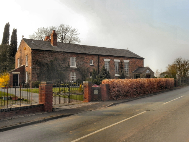
Image: © David Dixon Taken: 24 Mar 2011
St Michael’s Chapel on Moss Side Lane used to be the Roman Catholic place of worship for local residents in Hollins Green and Glazebrook until it was sold in the 1980s
Images are licensed for reuse under creativecommons.org/licenses/by-sa/2.0
Image Location
Latitude
53.41363
Longitude
-2.467848