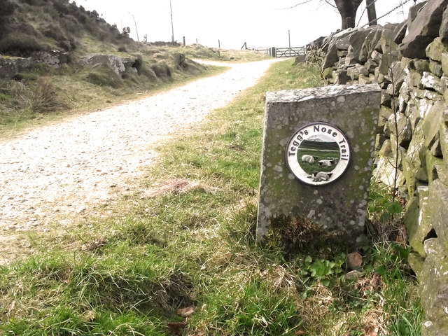
Trail marker
Introduction
The photograph on this page of Trail marker by Jonathan Kington as part of the Geograph project.
The Geograph project started in 2005 with the aim of publishing, organising and preserving representative images for every square kilometre of Great Britain, Ireland and the Isle of Man.
There are currently over 7.5m images from over 14,400 individuals and you can help contribute to the project by visiting https://www.geograph.org.uk

Image: © Jonathan Kington Taken: 23 Mar 2011
This stone marks the route of the Tegg's Nose Trail. Beyond it, just before the gate, the trail swings to the left and climbs to the quarry and summit. The original name for Tegg’s Nose was Tegge’s Naze, it is thought that Tegge could either have been an early Norse settler or could refer to sheep (teg being another name for a two year old sheep). Nose or naze means a promontory so probably refers to the southern end of the hill. There is nearby evidence of Bronze Age occupation, with a barrow just to the south. Following the Norman Conquest Tegg’s Nose became part of the Royal Forest of Macclesfield owned by the Earls of Chester. Gritstone has been quarried on the hill from the 16th century through to 1955. Two types of stone were produced with the northern end producing a blue stone and the other end producing Tegg’s Nose Pink. There are also two reservoirs that regulate the flow of the River Bollin that used to power the textile mills in Macclesfield and Langley. The ecology of Tegg’s Nose is mostly a meadow and moorlands mix with the moorland being dominated by Heather, Bilberry and Wood sage, the meadows support a wide range of wild flowers that includes Mountain Pansy, Harebell and Tormentil. Lower down there is a mixed broadleafed wood consisting of Oak, Beech, Hornbeam, Holly and Rowan, along with Bramble, Gorse and Hawthorn.

