Junction of Sunbank Lane and Wilmslow Road, Ringway
Introduction
The photograph on this page of Junction of Sunbank Lane and Wilmslow Road, Ringway by Anthony O'Neil as part of the Geograph project.
The Geograph project started in 2005 with the aim of publishing, organising and preserving representative images for every square kilometre of Great Britain, Ireland and the Isle of Man.

There are currently over 7.5m images from over 14,400 individuals and you can help contribute to the project by visiting https://www.geograph.org.uk
Junction of Sunbank Lane and Wilmslow Road, Ringway
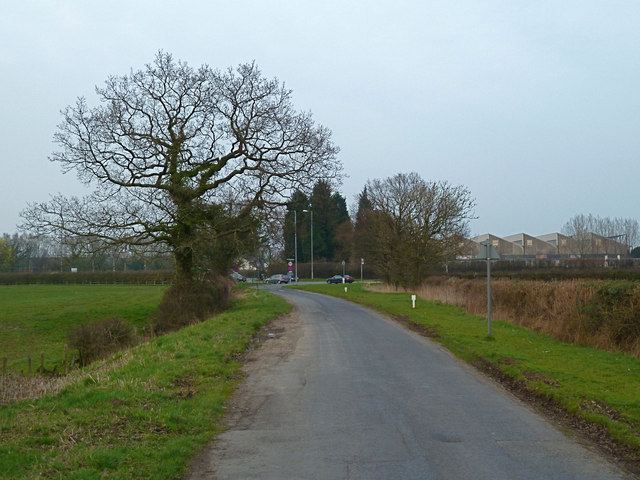
Image: © Anthony O'Neil Taken: 25 Mar 2011
The buildings to the right, on the fringe of Manchester Airport, used to be the Fairey Aviation Co Ltd factory during and after World War 2. The 'Romper' pub lies directly ahead.
Images are licensed for reuse under creativecommons.org/licenses/by-sa/2.0
Image Location
Latitude
53.357745
Longitude
-2.290242