Golden Hill Lane approaching Station Brow
Introduction
The photograph on this page of Golden Hill Lane approaching Station Brow by Ann Cook as part of the Geograph project.
The Geograph project started in 2005 with the aim of publishing, organising and preserving representative images for every square kilometre of Great Britain, Ireland and the Isle of Man.

There are currently over 7.5m images from over 14,400 individuals and you can help contribute to the project by visiting https://www.geograph.org.uk
Golden Hill Lane approaching Station Brow
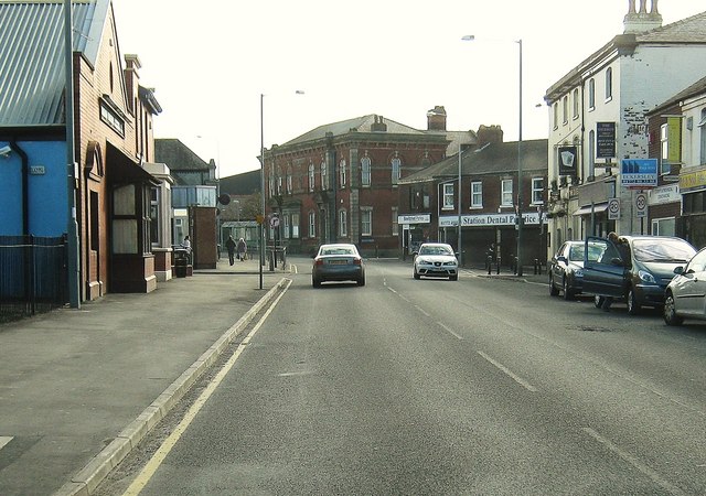
Image: © Ann Cook Taken: 19 Mar 2011
As the road bends to the left it becomes Station Brow. The road on the right is Chapel Brow and the smaller road, on the left, is Hastings Road.
Images are licensed for reuse under creativecommons.org/licenses/by-sa/2.0
Image Location
Latitude
53.69803
Longitude
-2.689555