Thames Path in Brentford
Introduction
The photograph on this page of Thames Path in Brentford by Marathon as part of the Geograph project.
The Geograph project started in 2005 with the aim of publishing, organising and preserving representative images for every square kilometre of Great Britain, Ireland and the Isle of Man.

There are currently over 7.5m images from over 14,400 individuals and you can help contribute to the project by visiting https://www.geograph.org.uk
Thames Path in Brentford
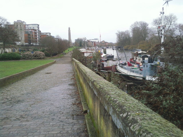
Image: © Marathon Taken: 2 Feb 2011
Looking downstream along the Thames Path in Brentford, to the right is Brentford Ait which is actually two islands. The church tower on the left is the disused St George's Church which until recently housed the Musical Museum. This reopened in a new building, three times the size of the old one, just down the road in 2007. The tower in the distance belongs to Kew Pumping Station which is now the Kew Bridge Steam Museum.
Images are licensed for reuse under creativecommons.org/licenses/by-sa/2.0
Image Location
Latitude
51.487699
Longitude
-0.292361