Ditchfield: E&R Meakes Forge Works
Introduction
The photograph on this page of Ditchfield: E&R Meakes Forge Works by Nigel Cox as part of the Geograph project.
The Geograph project started in 2005 with the aim of publishing, organising and preserving representative images for every square kilometre of Great Britain, Ireland and the Isle of Man.

There are currently over 7.5m images from over 14,400 individuals and you can help contribute to the project by visiting https://www.geograph.org.uk
Ditchfield: E&R Meakes Forge Works
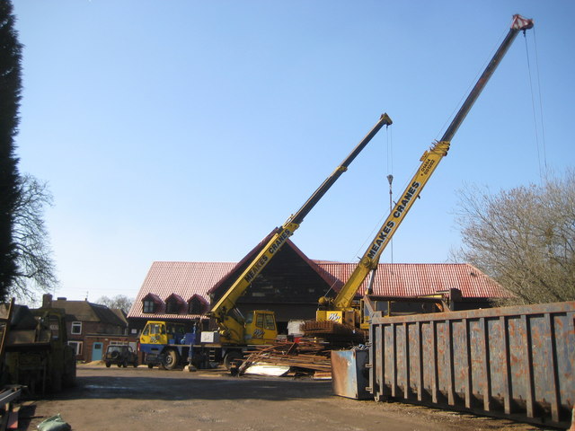
Image: © Nigel Cox Taken: 19 Mar 2011
The Ordnance Survey map of 1898 shows that a Smithy was in operation at this location at that time, serving the needs of the agricultural community, and the business is evidently still thriving today. This photograph was taken from the public footpath across Ditchfield Common.
Images are licensed for reuse under creativecommons.org/licenses/by-sa/2.0
Image Location
Latitude
51.616491
Longitude
-0.838861