Higher Westcott
Introduction
The photograph on this page of Higher Westcott by Derek Harper as part of the Geograph project.
The Geograph project started in 2005 with the aim of publishing, organising and preserving representative images for every square kilometre of Great Britain, Ireland and the Isle of Man.

There are currently over 7.5m images from over 14,400 individuals and you can help contribute to the project by visiting https://www.geograph.org.uk
Higher Westcott
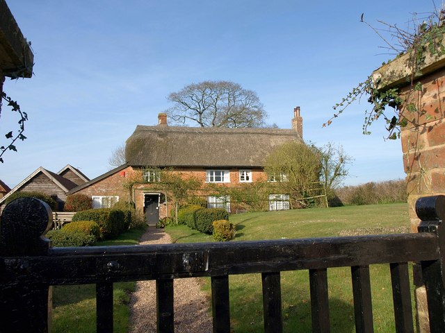
Image: © Derek Harper Taken: 19 Mar 2011
An archetypal English rural scene. The farmhouse, which could have C16 origins http://www.britishlistedbuildings.co.uk/en-86922-higher-westcott-farmhouse-talaton , straddles a gridline.
Images are licensed for reuse under creativecommons.org/licenses/by-sa/2.0
Image Location
Latitude
50.791108
Longitude
-3.335126