Cut Mark: Queastybirch Farm, Hatton
Introduction
The photograph on this page of Cut Mark: Queastybirch Farm, Hatton by VBForever as part of the Geograph project.
The Geograph project started in 2005 with the aim of publishing, organising and preserving representative images for every square kilometre of Great Britain, Ireland and the Isle of Man.

There are currently over 7.5m images from over 14,400 individuals and you can help contribute to the project by visiting https://www.geograph.org.uk
Cut Mark: Queastybirch Farm, Hatton
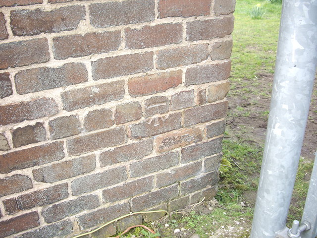
Image: © VBForever Taken: 25 Mar 2011
OS Cut Mark on the brickwork of Queastybirch Farm, Hatton. Number B11044 on the Benchmark Database, see http://www.bench-marks.org.uk/bm37393
Images are licensed for reuse under creativecommons.org/licenses/by-sa/2.0
Image Location
Latitude
53.329016
Longitude
-2.597372