Tregaron from Sunnyhill
Introduction
The photograph on this page of Tregaron from Sunnyhill by Jeremy Bolwell as part of the Geograph project.
The Geograph project started in 2005 with the aim of publishing, organising and preserving representative images for every square kilometre of Great Britain, Ireland and the Isle of Man.

There are currently over 7.5m images from over 14,400 individuals and you can help contribute to the project by visiting https://www.geograph.org.uk
Tregaron from Sunnyhill
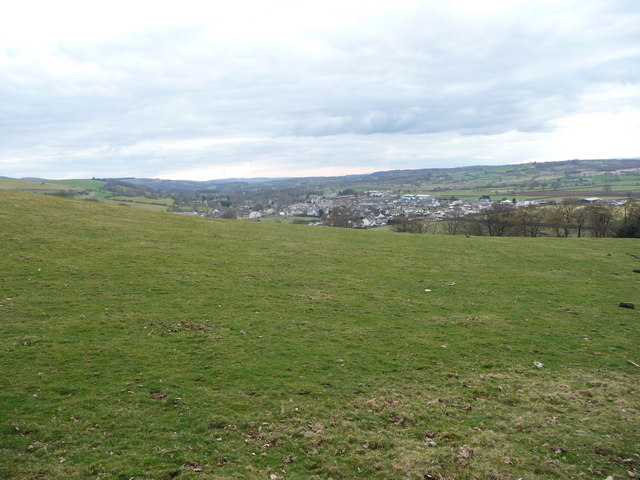
Image: © Jeremy Bolwell Taken: 22 Mar 2011
The footpath through sheep pasture behind Sunnyhill Farm offers good views back to Tregaron and the Teifi Valley beyond.
Images are licensed for reuse under creativecommons.org/licenses/by-sa/2.0
Image Location
Latitude
52.222925
Longitude
-3.931213