Chapel Street, Blaencwm
Introduction
The photograph on this page of Chapel Street, Blaencwm by Jaggery as part of the Geograph project.
The Geograph project started in 2005 with the aim of publishing, organising and preserving representative images for every square kilometre of Great Britain, Ireland and the Isle of Man.

There are currently over 7.5m images from over 14,400 individuals and you can help contribute to the project by visiting https://www.geograph.org.uk
Chapel Street, Blaencwm
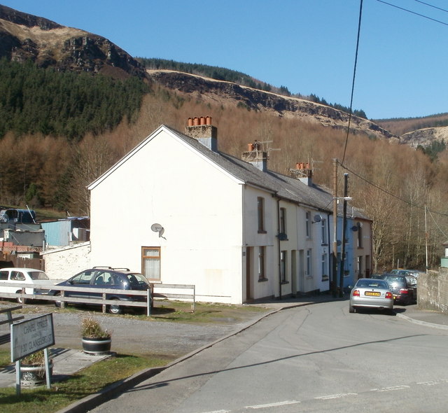
Image: © Jaggery Taken: 23 Mar 2011
Chapel Street houses viewed from the Michael's Road side. There is no longer a chapel on Chapel Street. The nearest places of worship are about a kilometre to the east, in Tynewydd.
Images are licensed for reuse under creativecommons.org/licenses/by-sa/2.0
Image Location
Latitude
51.676612
Longitude
-3.566245