Sanguishayes Farm
Introduction
The photograph on this page of Sanguishayes Farm by Derek Harper as part of the Geograph project.
The Geograph project started in 2005 with the aim of publishing, organising and preserving representative images for every square kilometre of Great Britain, Ireland and the Isle of Man.

There are currently over 7.5m images from over 14,400 individuals and you can help contribute to the project by visiting https://www.geograph.org.uk
Sanguishayes Farm
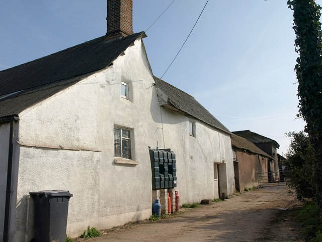
Image: © Derek Harper Taken: 19 Mar 2011
Variously spelt Sanquishayes (on maps) and Sanguishes (on the listed building description http://www.britishlistedbuildings.co.uk/en-86891-sanguishes-farmhouse-plymtree ), the farm is C16 in origin. Plymtree Footpath 7 runs alongside.
Images are licensed for reuse under creativecommons.org/licenses/by-sa/2.0
Image Location
Latitude
50.825904
Longitude
-3.351311