Bench mark in Castle Gates, Shrewsbury
Introduction
The photograph on this page of Bench mark in Castle Gates, Shrewsbury by John S Turner as part of the Geograph project.
The Geograph project started in 2005 with the aim of publishing, organising and preserving representative images for every square kilometre of Great Britain, Ireland and the Isle of Man.

There are currently over 7.5m images from over 14,400 individuals and you can help contribute to the project by visiting https://www.geograph.org.uk
Bench mark in Castle Gates, Shrewsbury
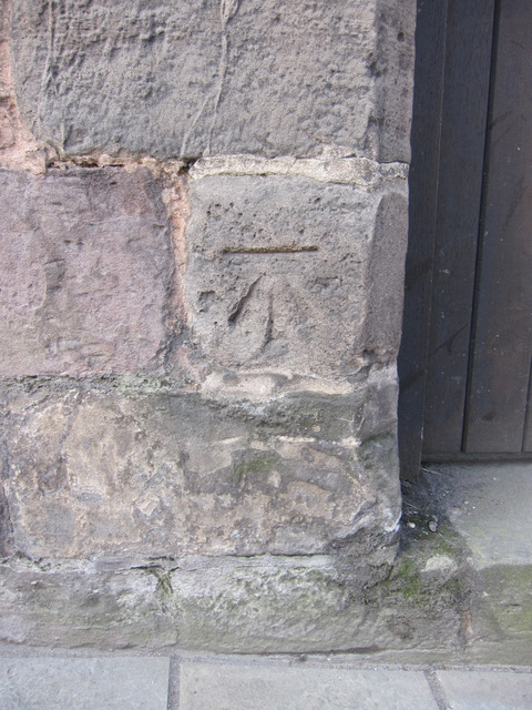
Image: © John S Turner Taken: 23 Mar 2011
This bench mark is alongside Castle Gates, close to the former entrance to Blower's Repository. The mark is first indicated on the 1927 O.S. map, levelled at 200.3 feet. See also Image
Images are licensed for reuse under creativecommons.org/licenses/by-sa/2.0
Image Location
Latitude
52.710751
Longitude
-2.750851