B158 Lower Hatfield Road, Hertingfordbury
Introduction
The photograph on this page of B158 Lower Hatfield Road, Hertingfordbury by David Howard as part of the Geograph project.
The Geograph project started in 2005 with the aim of publishing, organising and preserving representative images for every square kilometre of Great Britain, Ireland and the Isle of Man.

There are currently over 7.5m images from over 14,400 individuals and you can help contribute to the project by visiting https://www.geograph.org.uk
B158 Lower Hatfield Road, Hertingfordbury
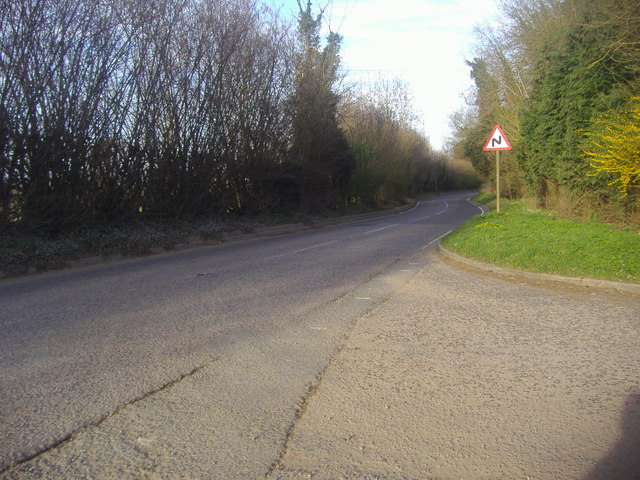
Image: © David Howard Taken: 24 Mar 2011
From entrance to Express Asphalt's smaller gravel pit
Images are licensed for reuse under creativecommons.org/licenses/by-sa/2.0
Image Location


Leaflet Map data © OpenStreetMap
Latitude
51.772705
Longitude
-0.112909