Glenridding and Ullswater Panorama
Introduction
The photograph on this page of Glenridding and Ullswater Panorama by Gareth Jones as part of the Geograph project.
The Geograph project started in 2005 with the aim of publishing, organising and preserving representative images for every square kilometre of Great Britain, Ireland and the Isle of Man.

There are currently over 7.5m images from over 14,400 individuals and you can help contribute to the project by visiting https://www.geograph.org.uk
Glenridding and Ullswater Panorama
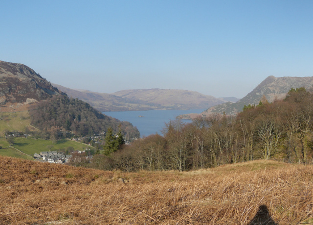
Image: © Gareth Jones Taken: 6 Mar 2011
Glenridding and Ullswater from just below Lanty's Tarn. To the left is Glenridding between Birkhouse Moor and Sheffield Pike. Right of Ullswater the fells are Place Fell, and Black Crag through the trees. See one of the larger versions for the full panorama.
Images are licensed for reuse under creativecommons.org/licenses/by-sa/2.0
Image Location
Latitude
54.543522
Longitude
-2.951374