Sheep pasture near Sunnybank
Introduction
The photograph on this page of Sheep pasture near Sunnybank by Jim Barton as part of the Geograph project.
The Geograph project started in 2005 with the aim of publishing, organising and preserving representative images for every square kilometre of Great Britain, Ireland and the Isle of Man.

There are currently over 7.5m images from over 14,400 individuals and you can help contribute to the project by visiting https://www.geograph.org.uk
Sheep pasture near Sunnybank
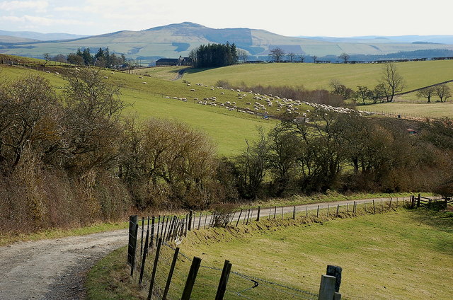
Image: © Jim Barton Taken: 23 Mar 2011
In the distance, directly in line with the house at West Boonraw, is the summit of Rubers Law, a remnant of volcanic activity in Carboniferous times.
Images are licensed for reuse under creativecommons.org/licenses/by-sa/2.0
Image Location
Latitude
55.454097
Longitude
-2.806041