Wooded Knoll near Pye Flatts
Introduction
The photograph on this page of Wooded Knoll near Pye Flatts by Jonathan Clitheroe as part of the Geograph project.
The Geograph project started in 2005 with the aim of publishing, organising and preserving representative images for every square kilometre of Great Britain, Ireland and the Isle of Man.

There are currently over 7.5m images from over 14,400 individuals and you can help contribute to the project by visiting https://www.geograph.org.uk
Wooded Knoll near Pye Flatts
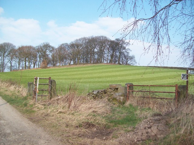
Image: © Jonathan Clitheroe Taken: 23 Mar 2011
A coppice of trees crowning a knoll close to Pye Flatts. The Pennine Boundary Walk follows the track on the left of shot.
Images are licensed for reuse under creativecommons.org/licenses/by-sa/2.0
Image Location
Latitude
53.544884
Longitude
-1.586466