Colebrook
Introduction
The photograph on this page of Colebrook by Derek Harper as part of the Geograph project.
The Geograph project started in 2005 with the aim of publishing, organising and preserving representative images for every square kilometre of Great Britain, Ireland and the Isle of Man.

There are currently over 7.5m images from over 14,400 individuals and you can help contribute to the project by visiting https://www.geograph.org.uk
Colebrook
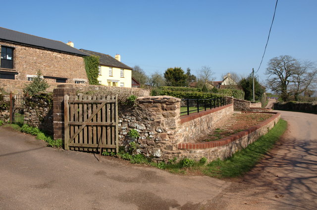
Image: © Derek Harper Taken: 19 Mar 2011
The lane through the hamlet. Colebrook Court, the smart yellow farmhouse peering around the side of the barn conversion, is listed http://www.britishlistedbuildings.co.uk/en-95278-colebrook-court-cullompton .
Images are licensed for reuse under creativecommons.org/licenses/by-sa/2.0
Image Location
Latitude
50.844955
Longitude
-3.413224