The loughshore path, Whiteabbey (1)
Introduction
The photograph on this page of The loughshore path, Whiteabbey (1) by Albert Bridge as part of the Geograph project.
The Geograph project started in 2005 with the aim of publishing, organising and preserving representative images for every square kilometre of Great Britain, Ireland and the Isle of Man.

There are currently over 7.5m images from over 14,400 individuals and you can help contribute to the project by visiting https://www.geograph.org.uk
The loughshore path, Whiteabbey (1)
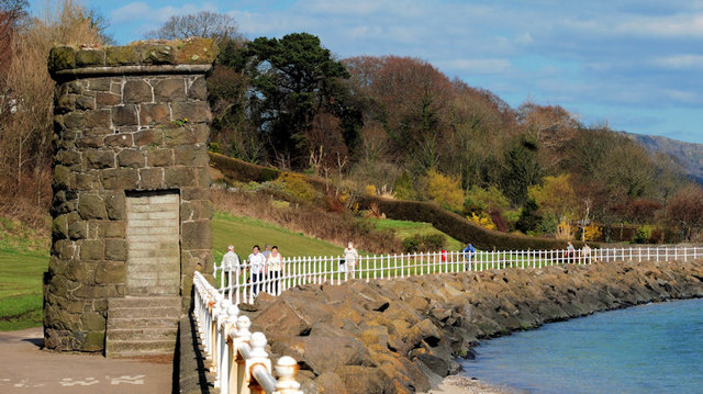
Image: © Albert Bridge Taken: 23 Mar 2011
One of two stone structures, along the loughshore path, between Hazelbank and Whiteabbey. I have still not been able to find out who built them or why and when.
Images are licensed for reuse under creativecommons.org/licenses/by-sa/2.0
Image Location
Latitude
54.66402
Longitude
-5.900486