Entering Colebrook
Introduction
The photograph on this page of Entering Colebrook by Derek Harper as part of the Geograph project.
The Geograph project started in 2005 with the aim of publishing, organising and preserving representative images for every square kilometre of Great Britain, Ireland and the Isle of Man.

There are currently over 7.5m images from over 14,400 individuals and you can help contribute to the project by visiting https://www.geograph.org.uk
Entering Colebrook
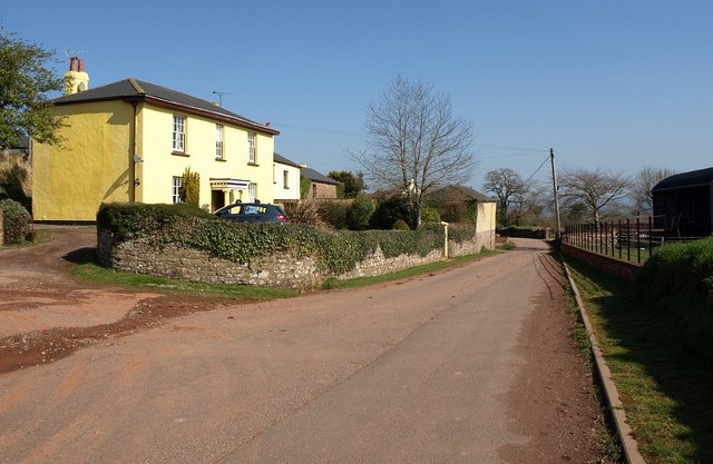
Image: © Derek Harper Taken: 19 Mar 2011
Colebrook Lane enters the hamlet. In fact none of the buildings shown are actually in square. On the left is the listed Fairfield House http://www.britishlistedbuildings.co.uk/en-95279-fairfield-house-cullompton .
Images are licensed for reuse under creativecommons.org/licenses/by-sa/2.0
Image Location
Latitude
50.844864
Longitude
-3.413363