Windmill Way
Introduction
The photograph on this page of Windmill Way by Ian Capper as part of the Geograph project.
The Geograph project started in 2005 with the aim of publishing, organising and preserving representative images for every square kilometre of Great Britain, Ireland and the Isle of Man.

There are currently over 7.5m images from over 14,400 individuals and you can help contribute to the project by visiting https://www.geograph.org.uk
Windmill Way
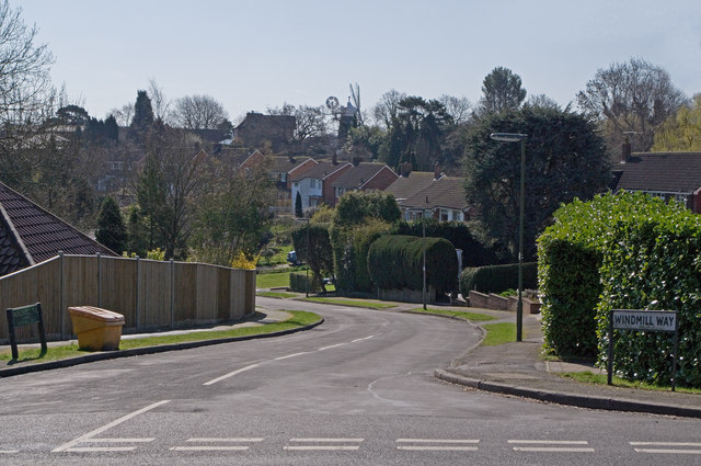
Image: © Ian Capper Taken: 19 Mar 2011
Part of the 1960s development of this part of Reigate. In the background can be seen Wray Common Windmill, after which this road is named.
Images are licensed for reuse under creativecommons.org/licenses/by-sa/2.0
Image Location
Latitude
51.247517
Longitude
-0.184781