Inverugie Road, Peterhead
Introduction
The photograph on this page of Inverugie Road, Peterhead by Iain Smith as part of the Geograph project.
The Geograph project started in 2005 with the aim of publishing, organising and preserving representative images for every square kilometre of Great Britain, Ireland and the Isle of Man.

There are currently over 7.5m images from over 14,400 individuals and you can help contribute to the project by visiting https://www.geograph.org.uk
Inverugie Road, Peterhead
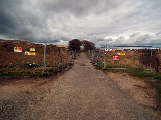
Image: © Iain Smith Taken: 23 Mar 2011
I'm always saddened to see places where I used to play as a youngster being developed with yet more green space being lost forever, but that's progress I suppose. This is the Inverugie Road in Peterhead, showing the security fencing that has been erected around a massive new housing development, and which currently blocks the road. Whether or not the road will be reinstated at a later date, I have no idea. Leading off to the right is the pathway running alongside the Collie Burn.
Images are licensed for reuse under creativecommons.org/licenses/by-sa/2.0
Image Location
Latitude
57.512513
Longitude
-1.816884