Woodborough Cemetery
Introduction
The photograph on this page of Woodborough Cemetery by Alan Murray-Rust as part of the Geograph project.
The Geograph project started in 2005 with the aim of publishing, organising and preserving representative images for every square kilometre of Great Britain, Ireland and the Isle of Man.

There are currently over 7.5m images from over 14,400 individuals and you can help contribute to the project by visiting https://www.geograph.org.uk
Woodborough Cemetery
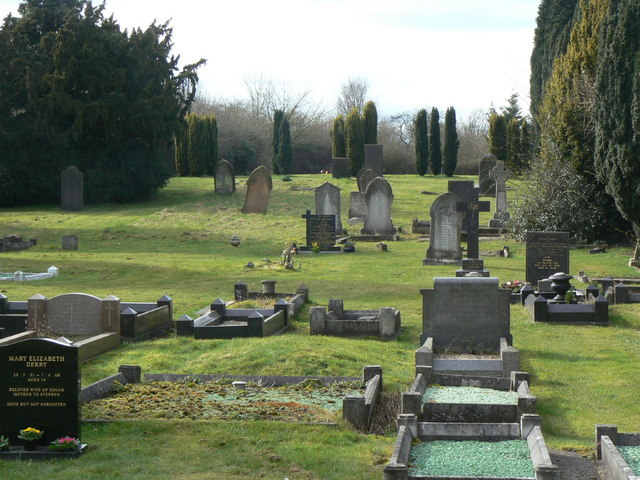
Image: © Alan Murray-Rust Taken: 20 Mar 2011
On the top of Roe Hill. Burials commenced here in 1879 after the churchyard was declared full. The cemetery is divide by an avenue, and when opened, it was declared Dissenters would be buried in the south side, church people in the north side. This is the Dissenters' side.
Images are licensed for reuse under creativecommons.org/licenses/by-sa/2.0
Image Location
Latitude
53.027199
Longitude
-1.060931