Roe Hill
Introduction
The photograph on this page of Roe Hill by Alan Murray-Rust as part of the Geograph project.
The Geograph project started in 2005 with the aim of publishing, organising and preserving representative images for every square kilometre of Great Britain, Ireland and the Isle of Man.

There are currently over 7.5m images from over 14,400 individuals and you can help contribute to the project by visiting https://www.geograph.org.uk
Roe Hill
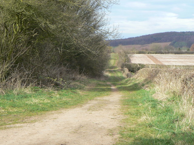
Image: © Alan Murray-Rust Taken: 20 Mar 2011
The extension of the lane beyond the Cemetery, classified as a bridleway and leading to Oxton.
Images are licensed for reuse under creativecommons.org/licenses/by-sa/2.0
Image Location
Latitude
53.02782
Longitude
-1.059874