Reedham station: looking down the approach road
Introduction
The photograph on this page of Reedham station: looking down the approach road by Christopher Hilton as part of the Geograph project.
The Geograph project started in 2005 with the aim of publishing, organising and preserving representative images for every square kilometre of Great Britain, Ireland and the Isle of Man.

There are currently over 7.5m images from over 14,400 individuals and you can help contribute to the project by visiting https://www.geograph.org.uk
Reedham station: looking down the approach road
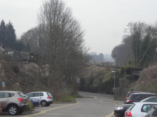
Image: © Christopher Hilton Taken: 22 Mar 2011
To the right, the line to Tattenham Corner leaving Reedham station; to the left, the fast lines to the North Downs gap and the South coast.
Images are licensed for reuse under creativecommons.org/licenses/by-sa/2.0
Image Location
Latitude
51.330268
Longitude
-0.123666