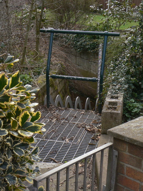
The Sycke Dyke goes underground
Introduction
The photograph on this page of The Sycke Dyke goes underground by Alan Murray-Rust as part of the Geograph project.
The Geograph project started in 2005 with the aim of publishing, organising and preserving representative images for every square kilometre of Great Britain, Ireland and the Isle of Man.
There are currently over 7.5m images from over 14,400 individuals and you can help contribute to the project by visiting https://www.geograph.org.uk

Image: © Alan Murray-Rust Taken: 20 Mar 2011
One of the tributaries of Main Street Dyke. As with many others, the Main Street Dyke is a natural watercourse which originally ran alongside the village street has been culverted, and is subject to overload. The debris grille and depth marker were installed following the floods of 2007 http://www.geograph.org.uk/photo/483720. Remote monitoring means that build-up can be observed by the authorities and cleared before it becomes a hazard.

