Woodborough village
Introduction
The photograph on this page of Woodborough village by Alan Murray-Rust as part of the Geograph project.
The Geograph project started in 2005 with the aim of publishing, organising and preserving representative images for every square kilometre of Great Britain, Ireland and the Isle of Man.

There are currently over 7.5m images from over 14,400 individuals and you can help contribute to the project by visiting https://www.geograph.org.uk
Woodborough village
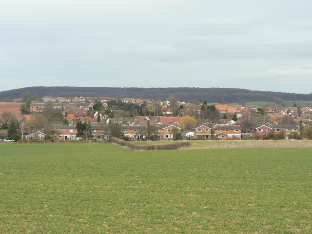
Image: © Alan Murray-Rust Taken: 20 Mar 2011
A view across the fields from the south, showing just how much the village has expanded as a commuter dormitory for Nottingham.
Images are licensed for reuse under creativecommons.org/licenses/by-sa/2.0
Image Location
Latitude
53.022399
Longitude
-1.056413