Mount Pleasant
Introduction
The photograph on this page of Mount Pleasant by Simon Carey as part of the Geograph project.
The Geograph project started in 2005 with the aim of publishing, organising and preserving representative images for every square kilometre of Great Britain, Ireland and the Isle of Man.

There are currently over 7.5m images from over 14,400 individuals and you can help contribute to the project by visiting https://www.geograph.org.uk
Mount Pleasant
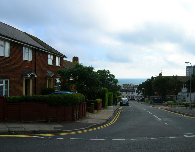
Image: © Simon Carey Taken: 1 Sep 2006
Head south down Marine View then east along Carlton Hill. Mount Pleasant was first developed from 1800 but failed to live up to its name by becoming a notorious slum which was eventually demolished in 1935. It was rebuilt and widened to include another alley, Park Place and the eastern side was completed before the outbreak of the second world war. The war then the shortages in the aftermath meant the western side was not built until the 1960s. A theme often running in this part of the city, odd buildings and wasteland surviving from the 1930s but not fully redeveloped until the money reappeared in the 1960s. Click on the link to take you to the next page. http://www.geograph.org.uk/photo/232047
Images are licensed for reuse under creativecommons.org/licenses/by-sa/2.0
Image Location
Latitude
50.82235
Longitude
-0.130186