Windmill Terrace
Introduction
The photograph on this page of Windmill Terrace by Simon Carey as part of the Geograph project.
The Geograph project started in 2005 with the aim of publishing, organising and preserving representative images for every square kilometre of Great Britain, Ireland and the Isle of Man.

There are currently over 7.5m images from over 14,400 individuals and you can help contribute to the project by visiting https://www.geograph.org.uk
Windmill Terrace
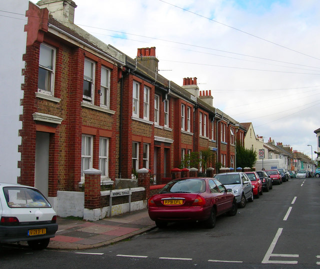
Image: © Simon Carey Taken: 1 Sep 2006
Head east up Albion Hill then south into this road. This is near enough the summit 200 feet up from Old Steine. Windmill Terrace, named after a nearby windmill was built comparatively late in 1890 on land formerly worked by Chates Court Farm. The street links Richmond Street and Albion Hill as they almost converge beyond the summit, the whole length being viewed in the photograph. Click on the link to take you to the next page. http://www.geograph.org.uk/photo/232016
Images are licensed for reuse under creativecommons.org/licenses/by-sa/2.0
Image Location
Latitude
50.825946
Longitude
-0.130042