Woodborough Park farm
Introduction
The photograph on this page of Woodborough Park farm by Alan Murray-Rust as part of the Geograph project.
The Geograph project started in 2005 with the aim of publishing, organising and preserving representative images for every square kilometre of Great Britain, Ireland and the Isle of Man.

There are currently over 7.5m images from over 14,400 individuals and you can help contribute to the project by visiting https://www.geograph.org.uk
Woodborough Park farm
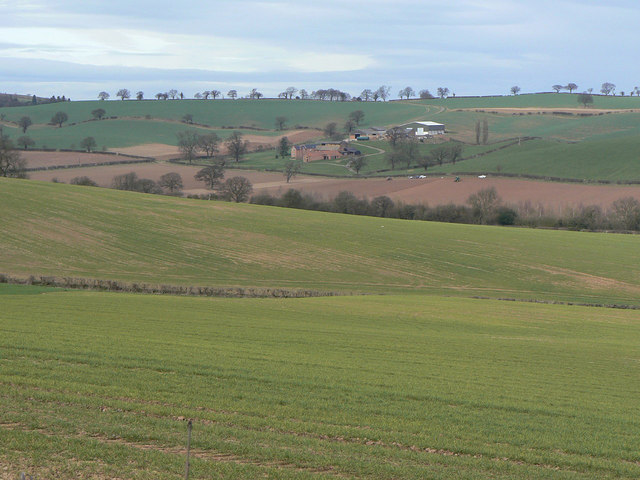
Image: © Alan Murray-Rust Taken: 20 Mar 2011
The head of the valley of the Westfield Dyke which runs through Woodborough Village. This relatively small catchement was still enough to cause serious flooding in the village in June/July 2007 after a period of heavy rain which left the ground waterlogged was followed by torrential downpours.
Images are licensed for reuse under creativecommons.org/licenses/by-sa/2.0
Image Location
Latitude
53.025099
Longitude
-1.091392