Farmland off Sparsholt Road
Introduction
The photograph on this page of Farmland off Sparsholt Road by Graham Horn as part of the Geograph project.
The Geograph project started in 2005 with the aim of publishing, organising and preserving representative images for every square kilometre of Great Britain, Ireland and the Isle of Man.

There are currently over 7.5m images from over 14,400 individuals and you can help contribute to the project by visiting https://www.geograph.org.uk
Farmland off Sparsholt Road
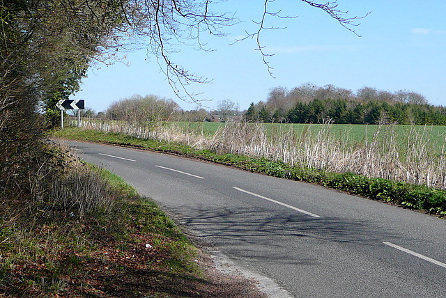
Image: © Graham Horn Taken: 19 Mar 2011
This land is mainly arable, on thin chalk soil. Looking at the map, it would appear that Sparsholt Road probably once was straight. But now there is a significant double bend, starting here. As I was walking along the road I had to keep a keen ear for traffic, and dive into the verge.
Images are licensed for reuse under creativecommons.org/licenses/by-sa/2.0
Image Location
Latitude
51.050614
Longitude
-1.382216