Haytor granite railway
Introduction
The photograph on this page of Haytor granite railway by Alan Hunt as part of the Geograph project.
The Geograph project started in 2005 with the aim of publishing, organising and preserving representative images for every square kilometre of Great Britain, Ireland and the Isle of Man.

There are currently over 7.5m images from over 14,400 individuals and you can help contribute to the project by visiting https://www.geograph.org.uk
Haytor granite railway
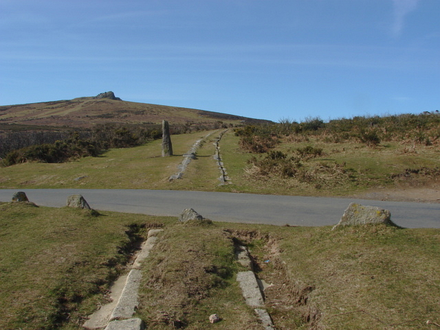
Image: © Alan Hunt Taken: 13 Mar 2011
The granite setts of the railway crossing the Manaton road. Haytor rocks are in the background. This unique railway was built in 1820 to transport stone from Haytor quarries to the Stover canal, a distance of some 10 miles.
Images are licensed for reuse under creativecommons.org/licenses/by-sa/2.0
Image Location
Latitude
50.584221
Longitude
-3.740187