Saxon Shore Way on Lighthouse Down
Introduction
The photograph on this page of Saxon Shore Way on Lighthouse Down by David Anstiss as part of the Geograph project.
The Geograph project started in 2005 with the aim of publishing, organising and preserving representative images for every square kilometre of Great Britain, Ireland and the Isle of Man.

There are currently over 7.5m images from over 14,400 individuals and you can help contribute to the project by visiting https://www.geograph.org.uk
Saxon Shore Way on Lighthouse Down
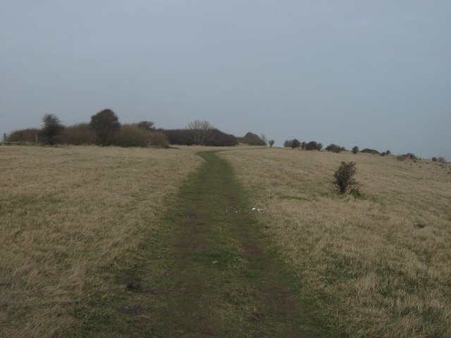
Image: © David Anstiss Taken: 20 Mar 2011
The long distance path leads through a section of National Trust cliffside land heading towards Beach Road in St.Margaret's Bay.
Images are licensed for reuse under creativecommons.org/licenses/by-sa/2.0
Image Location
Latitude
51.142637
Longitude
1.378575